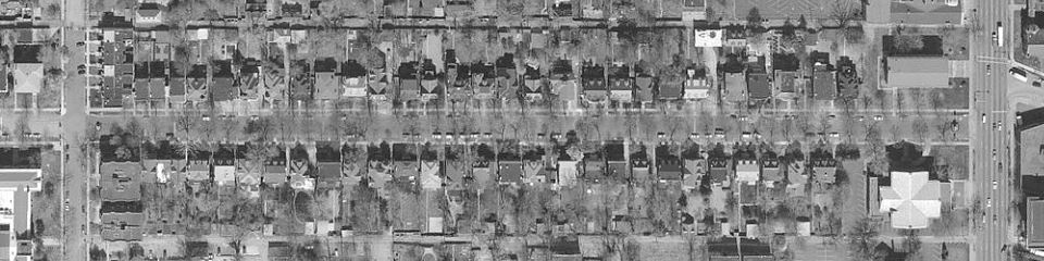
The 5000-5100 blocks of Westminster Place as stored by the St. Louis County GIS server in the year 2000. North alley at the top, Kingshighway on the right, south alley at the bottom and Lake on the left. Joggers might note that a round trip between the east sidewalk of Union and the west sidewalk of Kingshighway is about 1.05 miles.
A 2000 by 500 pixel version with about four times this detail is available here. It is fun to print on 17" paper!