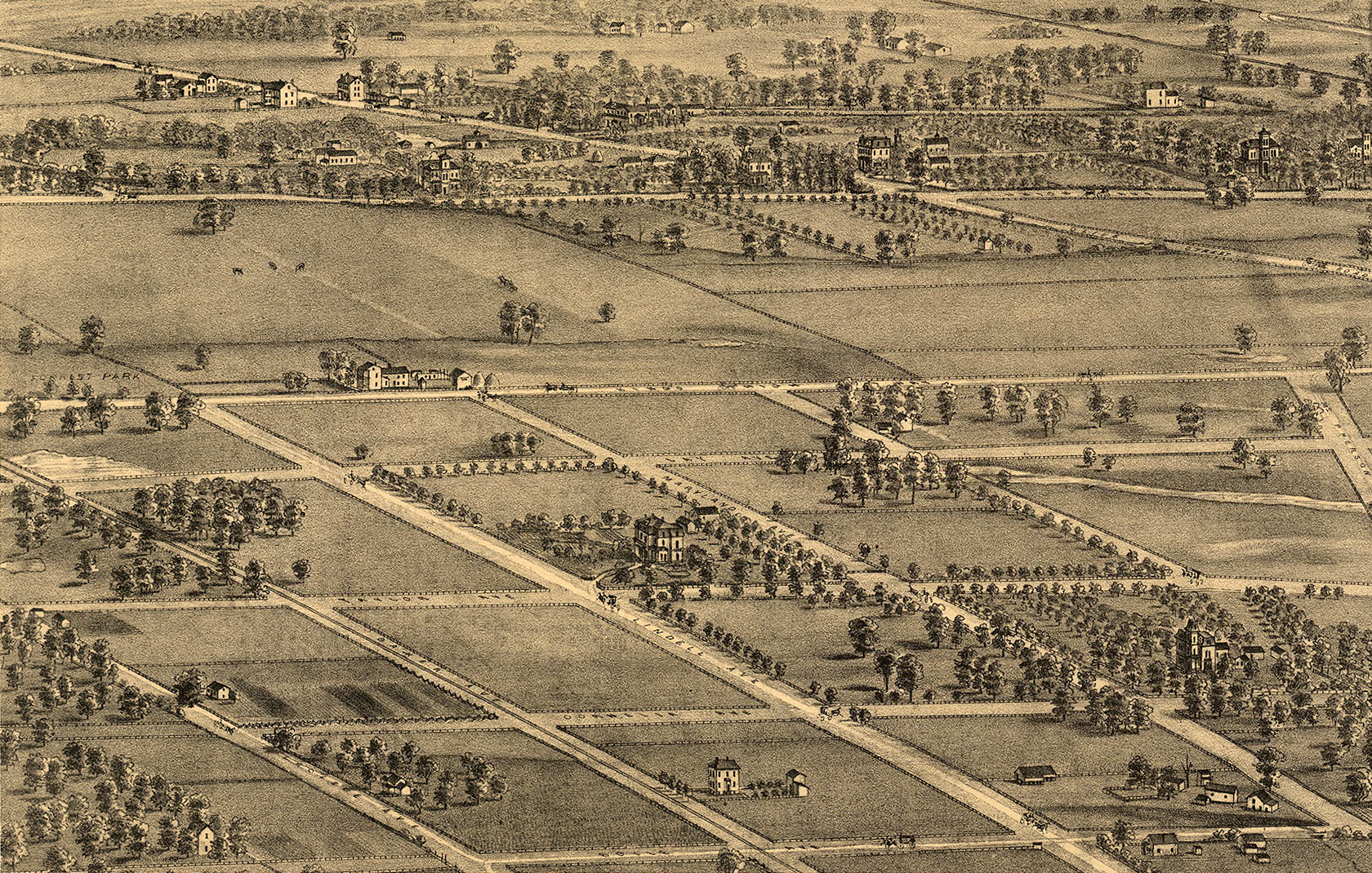
On this 1875 map Westminster Place did not yet exist. We are looking slightly north of west, so north is on the right. Kingshighway, Maryland and Union can be identified. Olive and Lay on this map are probably our Delmar and Euclid. The present Westminster Place should be about one-fourth of the way in towards the center from the top right corner, running from Kingshighway to Union and parallel to Olive (Delmar). Pretty flat, no slopes, said to be part of the Cabanne Dairy Farm.
Click on the map to see an expanded view.